Home
› Byron
London & Area Neighbourhoods
Byron
Located downriver (west) from London on the outer fringes of the city, Byron was originally called Westminster, then renamed Hall's Mill, and then finally Byron. The Byron area was settled in 1800 and first became a village in 1804. In March 7 1961, it was annexed by the city of London and the population grew substantially with the development of large subdivisions around the original village.
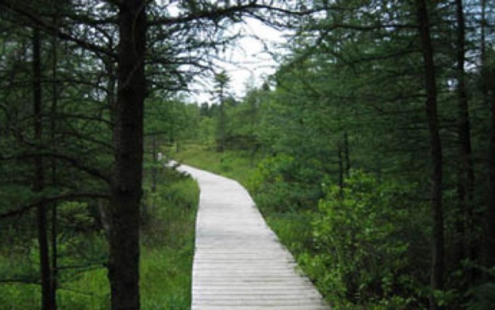
The current boundaries of Byron are generally regarded to be the land south of the Thames River and west of Colonel Talbot Road. Recent housing developments have expanded Byron southward to Southdale Road and westward to Wickerson Road. Outside of the urban area, Byron is surrounded by farmland and forested areas. On the eastern border of Byron is the Byron Gravel Pit, the sixteenth-largest gravel pit in Canada. Historically, Byron also consisted of some land north of the Thames River in the area known today as Oakridge Park, including the Byron Bog (now Sifton Bog).
Neighbourhoods
Park Lane
Warbler Woods
Byron
Somerset
Somerset Hills
Somerset Ridge
Sports Facilities and Parks
Warbler Woods
Parklane Park
Jorgenson Park
North Street Park
Scenic View Park
Belvedere Place Park
Griffith Street Park
Whisperwood Park
Crestwood Woods
Somerset Woods
Boler Mountain (Skiing/Snowboarding)
Libraries
Byron Branch Library
Hospitals
All hospital campuses are located east of Byron. By car it takes approximately 20 minutes to drive to London Health Sciences Westminster Campus and St. Joseph's Health Care Parkwood Hospital. St. Joseph's Health Care (Urgent care) is a drive of approximately 30 minutes from Byron.
Transportation
London Transportation Commission Ride-Guide Map
Byron is located south and east of downtown London. It is serviced well by the London Transportation Commission.
Shopping
Byron is a highly residential area however since it was a village prior to annexation it has many stores, shops and restaurants to service your daily needs.